Javanese news – For the people of Yogyakarta to migrants, the ring road is not just a big road that stretches around the city.
This road has become the vein of community mobility because it connects various important points in the Special Region of Yogyakarta.
Not only that, its existence has also supported economic activities, to become an alternative path for tourists who want to avoid traffic jams in the city center.
When viewed from the map, the Yogyakarta ring road forms the ring line that surrounds the city, starting from the Maguwoharjo intersection in Depok, Sleman.
From this point, the road stretches to the west to Kronggahan, Gamping, then continues to the south to the Madukismo area in Bantul.
The journey continues to the east until Banguntapan, then returns north to Maguwoharjo.
This stretch makes the ring road a vital link between the northern, western, south and east cities.
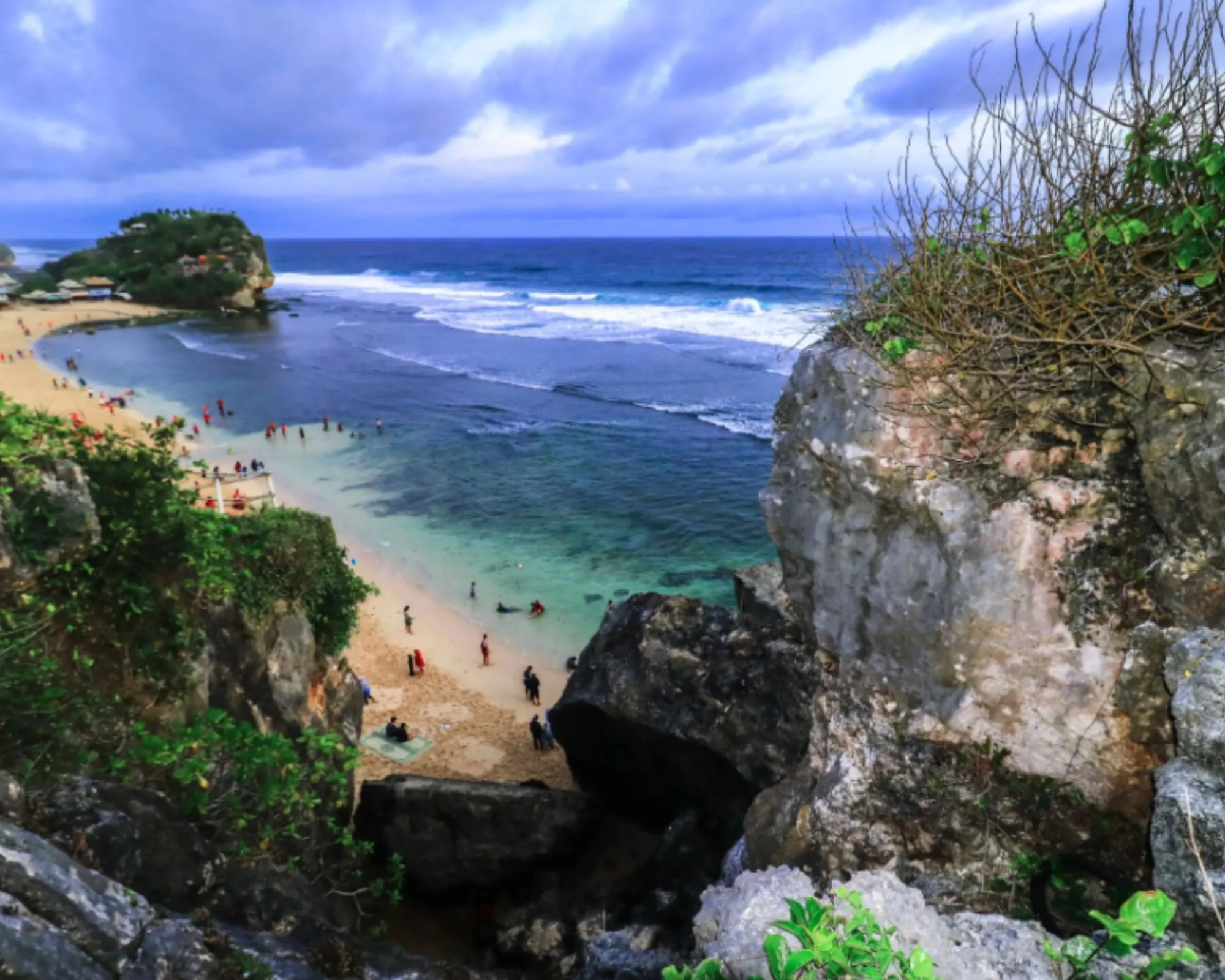
For tourists, the existence of a ring road is a big advantage. For example, those who want to go to Parangtritis Beach can use this route to reach Parangtritis road faster, without having to be trapped in the density of traffic in the center of Yogyakarta.
The width of the road and the lack of congestion points make the ring road the first choice for many people.
In addition, the construction of this road apparently has a history that is quite interesting to understand.
Early development – from rice fields to ring roads
The development of the ring road began in the 1980s. Based on news circulating, the process is not immediately completed in one stage.
Between 1982 and 1985, the government began land clearing, land compaction, and construction in stages.
Interestingly, the big idea of the construction of the ring road was said to originate from Gadjah Mada University, which at that time had a visionary view to facilitate access to transportation around Yogyakarta.
Before this road, the area that is now a ring road is only rice fields, simple housing, and inadequate small roads for large-scale traffic.
And in the 1970s, the suburbs of Yogyakarta felt so far from the city center. However, after the ring road was built, the distance limit seemed to disappear.
Mobility increases, new areas have sprung up, and physical development is increasingly widespread. Ring road also has a strategic role because it crosses five regency areas in the Yogyakarta City circle.
With its existence, the community in the suburbs becomes easier to access various activity centers, ranging from markets, schools, to health facilities.
Giving a new name to the ring road

After decades used without official identity besides the term “Ring Road”, in 2017 the Yogyakarta Special Region Government finally gave an official name for several road sections.
Through the Decree of the Governor of the Special Region of Yogyakarta Number 166/KEP/2017, this ring road is divided into six sections with names that have historical and nationalism value.
The following is the division of the name:
Jalan Siliwangi
Stretches from the intersection of four pelemgurih, limestone, Sleman to the intersection of four Jombor, Mlati, Sleman. The length of this section reaches 8.58 kilometers.
Jalan Padjajaran
Connecting the intersection of four Jombor, Mlati to Simpang Tiga Maguwoharjo, Depok or Jalan Solo. It is about 10 kilometers long.
Majapahit Street
Located between Simpang Tiga Janti and Simpang Empat Jalan Wonosari, Ketandan, Banguntapan, Bantul. This section has a length of 3.2 kilometers.
Jalan Ahmad Yani
Connecting Simpang Empat Jalan Wonosari to Simpang Empat Jalan Imogiri Barat. Its length reaches 6.5 kilometers.
Before this naming, the name of Jalan Ahmad Yani was used in the Malioboro area, from the Simpang Empat Pajeksan-Suryatmajan to the zero point of Kilometer Yogyakarta.
Jalan Prof. Dr. Wirjono Prodjodikoro
Stretching from Jalan Imogiri Barat to Simpang Empat Dongkelan, Jalan Bantul, with a length of 2.78 kilometers. This name was taken from the Chairperson of the Supreme Court for the period 1952-1966.
Jalan Brawijaya
Located between the Simpang Empat Dongkelan and Simpang Tiga Limp, Sleman, with a length of 5.86 kilometers.
This naming is not just a formality, but is intended to arouse the spirit of national unity through respect for figures and great kingdoms in Indonesian history.
The impact and meaning of the presence of the ring road
Over time, the ring road becomes more than just a transportation path. This has become a symbol of the development of Yogyakarta from the city that was once centered in the palace area into a metropolitan area that reaches the periphery.
This road facilitates the distribution of goods, facilitates access to tourism, and accelerates economic growth.
Now, when they pass the ringing road, people not only feel a smooth journey, but also see a large transformation that connects the past, present, and the future of Yogyakarta.
Starting from the silent rice fields to being a busy path, the ring road is a witness to the changing times in the city of Gudeg. ***
Game Center
Game News
Review Film
Rumus Matematika
Anime Batch
Berita Terkini
Berita Terkini
Berita Terkini
Berita Terkini
review anime


